What this measurement describes
Depth is a directional distance below a surface or reference level, not the size of a solid object.
Monumental · Ocean
LANDMARK 058 / 121
Around six kilometres down, the abyss gives way to hadal trenches carved by plate tectonics.
WonderOnly specialized vehicles and organisms operate routinely at these pressures.
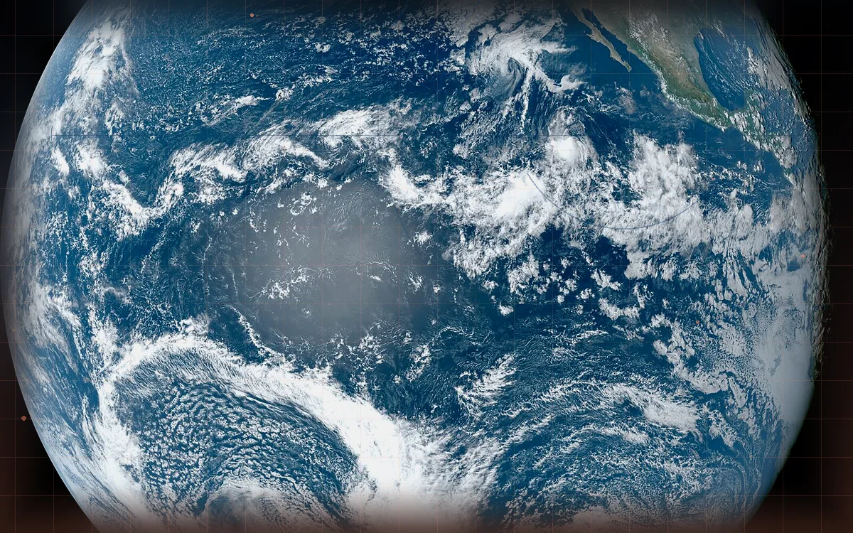 104metres
Scale context
Wonder · Explore · Deep
Depth is a directional distance below a surface or reference level, not the size of a solid object.
This is a useful typical scale, not a claim that every example has exactly the same dimension.
Vastoscope compares the SI value in metres for this lower abyssal boundary. A ratio is mathematically valid as a linear span, while the interface identifies when the two selected definitions differ.
Familiar scale bridges
These anchors are selected by logarithmic proximity from familiar human, engineered, planetary and cosmic references.
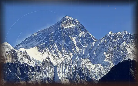 Monumental · EarthAbyssal depth ↔ Mount Everest1.47×
Earth’s highest mountain above mean sea level, shown as vertical elevation.
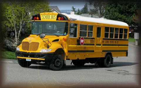 Monumental · MachinesAbyssal depth ↔ School bus492.13×
A full-size school bus, useful as a measuring stick for dinosaurs, whales and buildings.
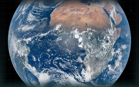 Planetary · Solar systemAbyssal depth ↔ Earth2,124×
Our ocean world, measured by mean diameter — the anchor for familiar planetary comparisons.
Evidence trail
Vastoscope keeps the displayed number separate from its measurement type and certainty. Representative and model-dependent values are intentionally labelled instead of presented as exact edges.
Nearby on the logarithmic rail
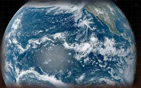 Monumental · OceanAverage ocean depth≈3.682 km deep
The global ocean’s average depth is already deeper than most mountains are tall above nearby terrain.
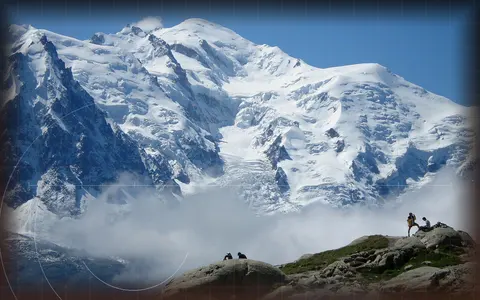 Monumental · EarthMont Blanc≈4.807 km
The Alps’ highest summit, whose snow-and-ice cap makes the measured altitude vary between surveys.
Monumental · EarthMount Everest8,848.86 mEarth’s highest mountain above mean sea level, shown as vertical elevation.
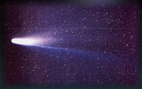 Planetary · Solar systemHalley’s Comet nucleus≈11 km
The dark icy nucleus behind Halley’s spectacular coma is roughly city-sized.
Next signal
Continue by scientific relationship, narrative journey or a deliberately distant scale jump.